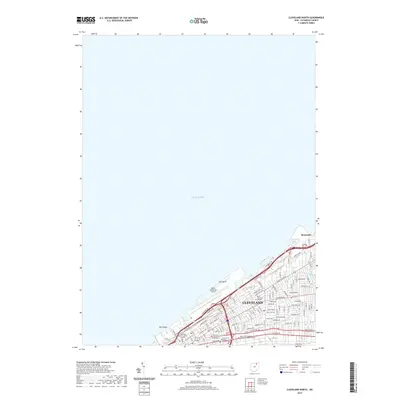
2019 Map of Cleveland North
USGS Topo · Published 2019About this map
Lake Erie dominates this coastal survey, where the downtown grid of Cleveland meets the shoreline at the West Basin and East Basin. The urban landscape is defined by major educational and civic institutions, including Cleveland State University, the Cuyahoga County Justice Center, and several specialized technical schools such as the Ohio Technical College. The lakefront itself is heavily utilized for transportation and recreation, featuring the expansive Burke Lakefront Airport and Gordon Park near the village of Bratenahl. This 2019 data illustrates the modern concentration of development along historic corridors like Euclid Ave and St Clair Ave NE, while smaller features like Dugway Brook provide a reminder of the natural hydrology remaining within the densely built environment.
Find a feature on this map
92 named features on this map. Tap any name to fly to it.
Don’t see what you’re looking for? This feature index may not catch every label — zoom into the map to look around manually.
Map Details
Editions of this 2019 Cleveland North Map
This is the sole edition of this map. No revisions or reprints were ever made.
Other maps of this area

1901 · Euclid
USGS Topo · 1:62,500

1902 · Berea
USGS Topo · 1:62,500

1903 · Cleveland
USGS Topo · 1:62,500

1903 · Euclid
USGS Topo · 1:62,500

1904 · Berea
USGS Topo · 1:62,500

1950 · Cleveland
USGS Topo · 1:250,000

1953 · Shaker Heights
USGS Topo · 1:24,000

1953 · East Cleveland
USGS Topo · 1:24,000
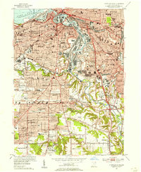
1953 · Cleveland South
USGS Topo · 1:24,000
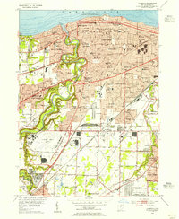
1953 · Lakewood
USGS Topo · 1:24,000