
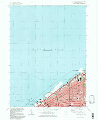
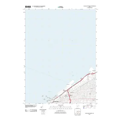
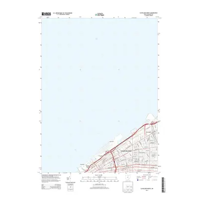
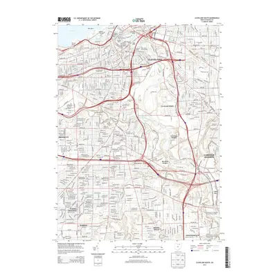
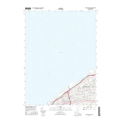
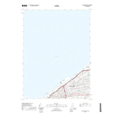
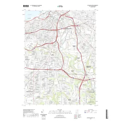
1994 Map of Cleveland North
USGS Topo · Published 1994About this map
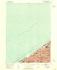
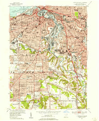
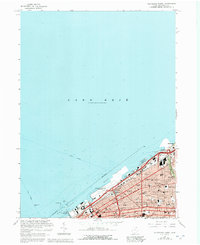
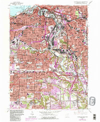
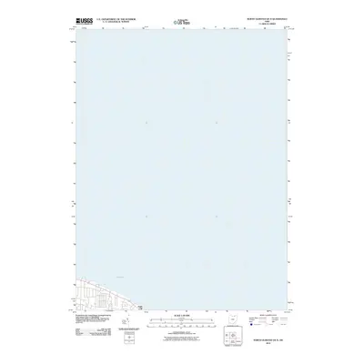
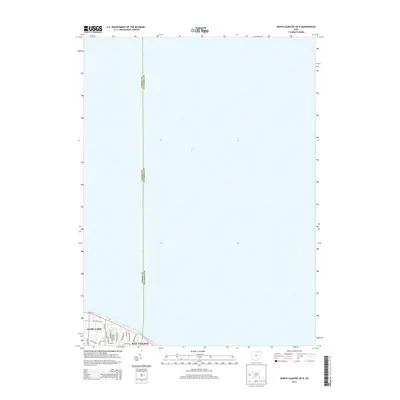
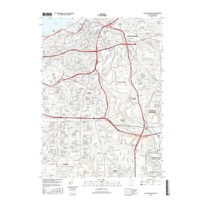
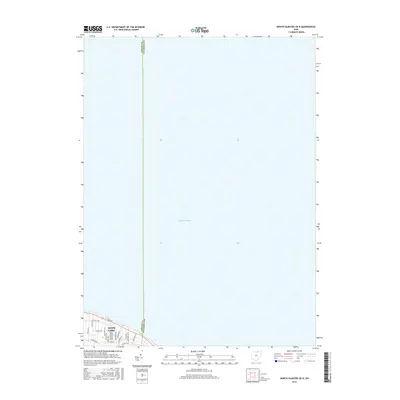
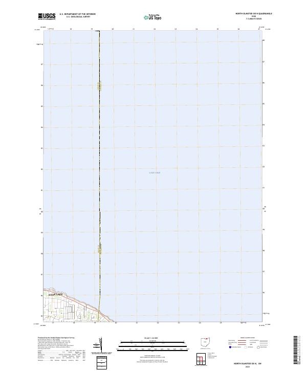
Lake Erie defines the northern edge of this Lake County and Cuyahoga County shoreline, where industrial urban centers meet conserved natural spaces. The metropolitan reach of Cleveland and East Cleveland transition eastward into coastal communities like Willowick and Mentor-on-the-Lake. This 1990s-era map illustrates a landscape shaped by both aviation and recreation, featuring the Burke Lakefront Airport near the city center and the smaller Lost-Nation Airport further up the coast. Environmental preservation is prominent along the marshy lakefront, specifically at the Mentor Marsh State Natural Preserve and Headlands Beach State Park. The interior reveals the transition from dense suburbs to the more wooded terrain of the Chagrin Falls State Forest and the expansive La Due Wildlife Area, while a U.S. Coast Guard Station and a local Lighthouse stand watch over the commercial waters of Fairport Harbor.
Find a feature on this map
75 named features on this map. Tap any name to fly to it.
Don’t see what you’re looking for? This feature index may not catch every label — zoom into the map to look around manually.
Map Details
Editions of this 1994 Cleveland North Map
This is the sole edition of this map. No revisions or reprints were ever made.
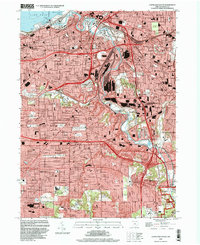
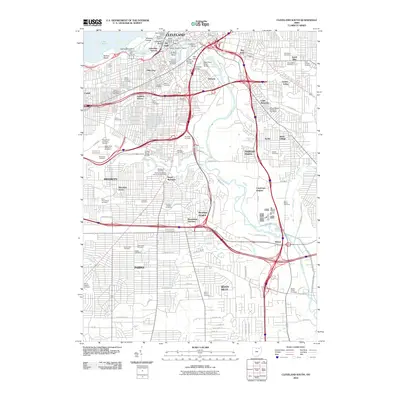
Historical Maps of Cleveland Through Time
23 maps found
1953 Cleveland North
Cuyahoga County, OH
1953 Cleveland South
Cuyahoga County, OH
1963 Cleveland North
Cuyahoga County, OH
1963 Cleveland South
Cuyahoga County, OH

1985 Cleveland North
Cuyahoga County, OH
1994 Cleveland North
Cuyahoga County, OH
1994 Cleveland North
Cuyahoga County, OH
1994 Cleveland South
Cuyahoga County, OH
2010 Cleveland North
Cuyahoga County, OH
2010 Cleveland South
Cuyahoga County, OH
2010 North Olmsted OE N
Cuyahoga County, OH
2013 Cleveland North
Cuyahoga County, OH
2013 Cleveland South
Cuyahoga County, OH
2013 North Olmsted OE N
Cuyahoga County, OH
2016 Cleveland North
Cuyahoga County, OH
2016 Cleveland South
Cuyahoga County, OH
2016 North Olmsted OE N
Cuyahoga County, OH
2019 Cleveland North
Cuyahoga County, OH
2019 Cleveland South
Cuyahoga County, OH
2019 North Olmsted OE N
Cuyahoga County, OH
2023 Cleveland North
Cuyahoga County, OH
2023 Cleveland South
Cuyahoga County, OH
2023 North Olmsted OE N
Cuyahoga County, OH