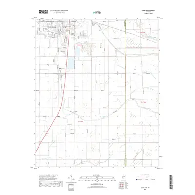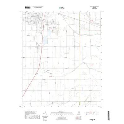
1968 Map of Cleveland
USGS Topo · Published 1968About this map
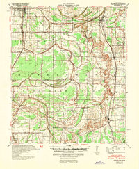
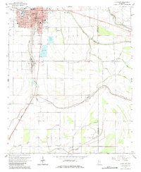
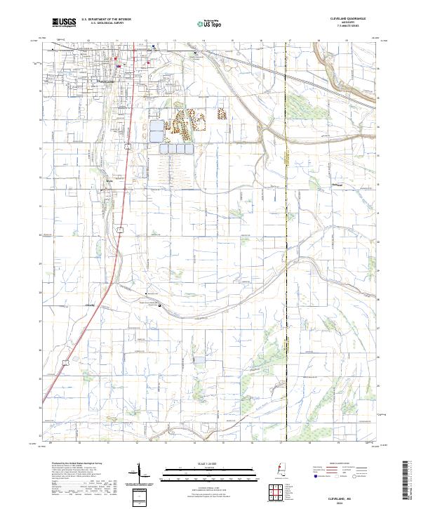
The Sunflower River and its complex network of bayous, including Jones Bayou and Bear Bayou, define this late 1960s landscape in the heart of the Mississippi Delta. The city of Cleveland serves as a primary hub, showing significant infrastructure like the Illinois Central railroad corridor and the Sewage Disposal Ponds. This period of the late 1960s reveals a deeply established rural community structured around numerous country churches and cemeteries, such as True Light Ch, Gillfield Ch, and the Hillhouse Cem. Outside the main centers of Ruleville and Boyle, the map documents a transition in land use, where small settlements like Linn, Steiner, and Blaine are connected by a grid of local roads and water management features like the Beaver Dam Bayou. The presence of a Landing Strip and various radio towers reflects the mid-century modernization of this agricultural region.
Find a feature on this map
101 named features on this map. Tap any name to fly to it.
Don’t see what you’re looking for? This feature index may not catch every label — zoom into the map to look around manually.
Map Details
Editions of this 1968 Cleveland Map
This is the sole edition of this map. No revisions or reprints were ever made.
Historical Maps of Cleveland Through Time
9 maps found