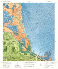
1971 Map of Clewiston North
USGS Topo · Published 1984About this map
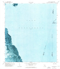
The southwest shores of Lake Okeechobee reveal a landscape defined by industrial agriculture and massive water management projects in the early 1970s. The town of Clewiston sits at the base of the Herbert Hoover Dike, a critical engineering feature separating the settled areas and the Seaboard rail lines from the expansive waters of the lake. To the west, the gridded fields of Shawnee and Sugarton demonstrate the intensive land use of the Everglades region, while the Okeechobee Waterway and Rim Canal provide a structured path for navigation.
Find a feature on this map
31 named features on this map. Tap any name to fly to it.
Don’t see what you’re looking for? This feature index may not catch every label — zoom into the map to look around manually.
Map Details
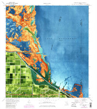
Editions of this 1971 Clewiston North Map
3 editions found
Other maps of this area

1956 · West Palm Beach
USGS Topo · 1:250,000

1957 · West Palm Beach
USGS Topo · 1:250,000

1958 · West Palm Beach
USGS Topo · 1:250,000

1970 · Lake Harbor
USGS Topo · 1:24,000

1970 · Moore Haven
USGS Topo · 1:24,000

1970 · Clewiston South
USGS Topo · 1:24,000

1970 · La Belle 4 NE
USGS Topo · 1:24,000
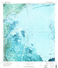
1971 · Fisheating Bay
USGS Topo · 1:24,000
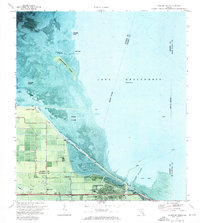
1971 · Clewiston North
USGS Topo · 1:24,000
1971 · Cochrans Pass
USGS Topo · 1:24,000