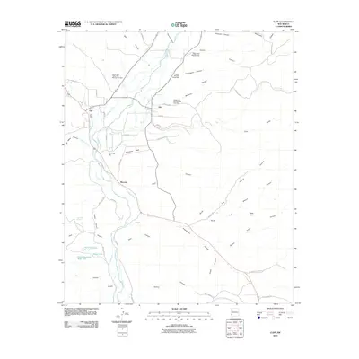
2010 Map of Cliff
USGS Topo · Published 2010About this map
The Gila River corridor near the edge of the Gila Wilderness serves as the lifeline for a series of small agricultural settlements. In this 2010 survey, the communities of Cliff, Gila, and Riverside are shown nestled along the river's fertile floodplain. The landscape is defined by an intricate network of irrigation canals, including the Upper Gila Ditch, Slayback Ditch, and Riverside Ditch, which demonstrate the long-standing water management traditions required to sustain life in this arid region.
Find a feature on this map
65 named features on this map. Tap any name to fly to it.
Don’t see what you’re looking for? This feature index may not catch every label — zoom into the map to look around manually.
Map Details
Editions of this 2010 Cliff Map
This is the sole edition of this map. No revisions or reprints were ever made.
Other maps of this area

1909 · Silver City
USGS Topo · 1:125,000

1910 · Mogollon
USGS Topo · 1:125,000

1911 · Alum Mountain
USGS Topo · 1:125,000

1912 · Mogollon
USGS Topo · 1:125,000

1913 · Alum Mountain
USGS Topo · 1:125,000

1949 · Circle Mesa
USGS Topo · 1:24,000

1950 · Dorsey Ranch
USGS Topo · 1:24,000

1951 · Circle Mesa
USGS Topo · 1:24,000

1951 · Dorsey Ranch
USGS Topo · 1:24,000

1954 · Silver City
USGS Topo · 1:250,000