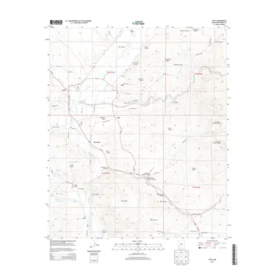
2013 Map of Cliff
USGS Topo · Published 2013About this map
Gila River water rights and agricultural history define this portion of Grant County, where a complex network of irrigation channels like the Upper Gila Ditch, McMillen Ditch, and Gila Farm Ditch support the riverside settlements. The small communities of Cliff, Gila, and Riverside are concentrated along the fertile valley floor, surrounded by a dramatic high-desert landscape of mesas and deep-cut canyons. Landmark features such as Graveyard Mesa and Ft Hill overlook the river valley, providing significant points of orientation for local history research.
Find a feature on this map
79 named features on this map. Tap any name to fly to it.
Don’t see what you’re looking for? This feature index may not catch every label — zoom into the map to look around manually.
Map Details
Editions of this 2013 Cliff Map
This is the sole edition of this map. No revisions or reprints were ever made.
Other maps of this area

1909 · Silver City
USGS Topo · 1:125,000

1910 · Mogollon
USGS Topo · 1:125,000

1911 · Alum Mountain
USGS Topo · 1:125,000

1912 · Mogollon
USGS Topo · 1:125,000

1913 · Alum Mountain
USGS Topo · 1:125,000

1949 · Circle Mesa
USGS Topo · 1:24,000

1950 · Dorsey Ranch
USGS Topo · 1:24,000

1951 · Circle Mesa
USGS Topo · 1:24,000

1951 · Dorsey Ranch
USGS Topo · 1:24,000

1954 · Silver City
USGS Topo · 1:250,000