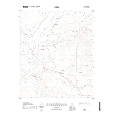
2020 Map of Cliff
USGS Topo · Published 2020About this map
The Gila River winds through this southwestern New Mexico landscape, anchoring the neighboring settlements of Cliff and Gila. This 2020 survey illustrates the deep-rooted agricultural and community infrastructure of the Gila Valley, where water management is evident in features like the Clark Ditch and Dam Canyon. For genealogists and local historians, the map provides precise locations for several burial sites, including the Cliff Gila Cem, Cliff Gila Mesa Cem, and the more isolated Clark Cem located near Dix Canyon.
Find a feature on this map
73 named features on this map. Tap any name to fly to it.
Don’t see what you’re looking for? This feature index may not catch every label — zoom into the map to look around manually.
Map Details
Editions of this 2020 Cliff Map
This is the sole edition of this map. No revisions or reprints were ever made.
Other maps of this area
1909 · Silver City
USGS Topo · 1:125,000
1910 · Mogollon
USGS Topo · 1:125,000
1911 · Alum Mountain
USGS Topo · 1:125,000
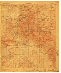
1912 · Mogollon
USGS Topo · 1:125,000
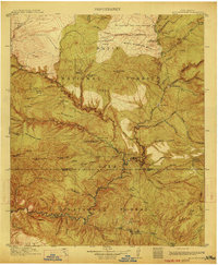
1913 · Alum Mountain
USGS Topo · 1:125,000
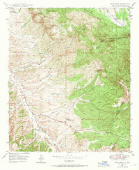
1949 · Circle Mesa
USGS Topo · 1:24,000
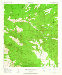
1950 · Dorsey Ranch
USGS Topo · 1:24,000
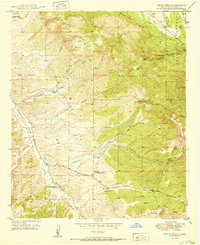
1951 · Circle Mesa
USGS Topo · 1:24,000
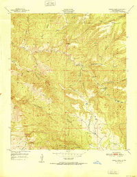
1951 · Dorsey Ranch
USGS Topo · 1:24,000
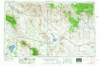
1954 · Silver City
USGS Topo · 1:250,000