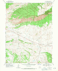
1968 Map of Cliff Ridge
USGS Topo · Published 1971About this map
Cliff Ridge and The Rimrock dominate this high-desert landscape in Uintah County, Utah, where geological formations and seasonal water sources dictated human movement and industry in the late 1960s. The map captures a transition from the elevated ridge-lines to the complex drainage systems below, including Snake John Creek and Birch Creek. Human presence is marked by resource extraction and infrastructure, evidenced by scattered Drill Hole locations, a prominent Pipeline cutting through the center, and numerous Prospect markings indicating mineral exploration.
Find a feature on this map
36 named features on this map. Tap any name to fly to it.
Don’t see what you’re looking for? This feature index may not catch every label — zoom into the map to look around manually.
Map Details
Editions of this 1968 Cliff Ridge Map
2 editions found
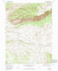
Other maps of this area

1885 · Ashley
USGS Topo · 1:250,000

1907 · Jensen
USGS Topo · 1:125,000

1910 · Jensen
USGS Topo · 1:125,000

1954 · Vernal
USGS Topo · 1:250,000

1955 · Stuntz Reservoir
USGS Topo · 1:24,000

1955 · Split Mountain
USGS Topo · 1:24,000

1958 · Vernal
USGS Topo · 1:250,000

1960 · Vernal
USGS Topo · 1:250,000
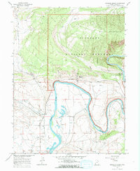
1965 · Dinosaur Quarry
USGS Topo · 1:24,000
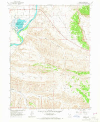
1965 · Jensen
USGS Topo · 1:24,000