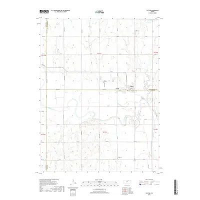
2018 Map of Clifton
USGS Topo · Published 2018About this map
The Republican River snakes through this rural landscape at the intersection of Washington, Clay, and Cloud counties. The twin settlements of Clifton and Vining anchor the center of the sheet, situated along the northern bank of the river where a grid of local streets like Cooper St and Railroad St meets the surrounding agricultural landscape. This survey documents the area's social history through its network of remote burial grounds, including Saint Mary's Cem to the northeast and Riverdale Cem further south. The drainage pattern is defined by numerous tributaries such as Scribner Cr and Dry Cr, which carve through the plains. The map illustrates a classic Midwestern township-and-range layout, with section lines marked by thoroughfares like Meridian Rd and Parallel Rd.
Find a feature on this map
55 named features on this map. Tap any name to fly to it.
Don’t see what you’re looking for? This feature index may not catch every label — zoom into the map to look around manually.
Map Details
Editions of this 2018 Clifton Map
This is the sole edition of this map. No revisions or reprints were ever made.
Other maps of this area

1891 · Clay Center
USGS Topo · 1:125,000

1893 · Washington
USGS Topo · 1:125,000

1955 · Manhattan
USGS Topo · 1:250,000

1956 · Manhattan
USGS Topo · 1:250,000

1957 · Manhattan
USGS Topo · 1:250,000

1964 · Clay Center NW
USGS Topo · 1:24,000

1964 · Miltonvale NE
USGS Topo · 1:24,000

1965 · Clifton
USGS Topo · 1:24,000

1965 · Brantford
USGS Topo · 1:24,000
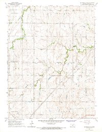
1965 · Miltonvale NW
USGS Topo · 1:24,000