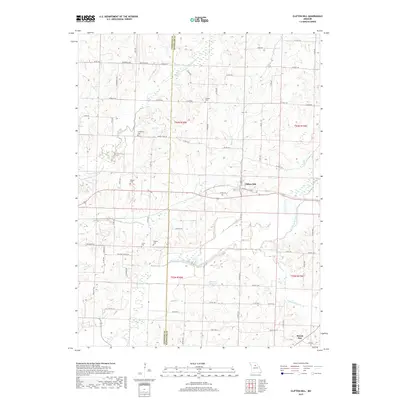
2017 Map of Clifton Hill
USGS Topo · Published 2017About this map
The Middle Fork Little Chariton River and E Fork Little Chariton River define the undulating landscape of this Randolph and Chariton County border region. Centered on the town of Clifton Hill, the area is a mix of agricultural tracts and riparian corridors. For genealogists and local historians, several family-named burial sites are recorded, including Johnson Cem, Richardson Cem, and Gross Cem, which are scattered throughout the sections near the county line.
Find a feature on this map
58 named features on this map. Tap any name to fly to it.
Don’t see what you’re looking for? This feature index may not catch every label — zoom into the map to look around manually.
Map Details
Editions of this 2017 Clifton Hill Map
This is the sole edition of this map. No revisions or reprints were ever made.
Other maps of this area

1890 · Glasgow
USGS Topo · 1:125,000

1953 · Moberly
USGS Topo · 1:250,000

1953 · Huntsville
USGS Topo · 1:24,000

1953 · Higbee
USGS Topo · 1:24,000

1953 · College Mound
USGS Topo · 1:24,000

1953 · Armstrong
USGS Topo · 1:24,000

1953 · Clifton Hill
USGS Topo · 1:24,000

1953 · Prairie Hill
USGS Topo · 1:24,000

1953 · Bynumville
USGS Topo · 1:24,000

1954 · Moberly
USGS Topo · 1:250,000