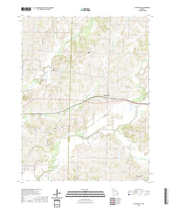
2021 Map of Clifton Hill
USGS Topo · Published 2021About this map
Clifton Hill and Mount Airy anchor this Missouri landscape where the Chariton and Randolph county lines intersect. The terrain is defined by the winding paths of the Middle Fork Little Chariton River and the E Fork Little Chariton River, creating a complex network of drainage that includes Muncas Cr and Sweet Spring Cr. For those researching local families, the map reveals several well-distributed burial grounds including Finnell Cem, Gross Cem, Kitchen Cem, and Richardson Cem, providing specific geographic coordinates for 19th- and 20th-century genealogy. The road network, ranging from State HWY U to rural routes like Peabody RD and Salisbury RD, reflects a region shaped by agricultural connectivity. Notable water features like Big Lake and Brown Lake dot the lowlands between the river forks, marking the transition between the upland plateaus and the river bottoms.
Find a feature on this map
44 named features on this map. Tap any name to fly to it.
Don’t see what you’re looking for? This feature index may not catch every label — zoom into the map to look around manually.
Map Details
Editions of this 2021 Clifton Hill Map
This is the sole edition of this map. No revisions or reprints were ever made.
Other maps of this area

1890 · Glasgow
USGS Topo · 1:125,000

1953 · Moberly
USGS Topo · 1:250,000

1953 · Huntsville
USGS Topo · 1:24,000

1953 · Higbee
USGS Topo · 1:24,000

1953 · College Mound
USGS Topo · 1:24,000

1953 · Armstrong
USGS Topo · 1:24,000

1953 · Clifton Hill
USGS Topo · 1:24,000

1953 · Prairie Hill
USGS Topo · 1:24,000

1953 · Bynumville
USGS Topo · 1:24,000

1954 · Moberly
USGS Topo · 1:250,000