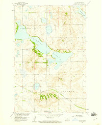
1958 Map of Clifton
USGS Topo · Published 1959About this map
Great Northern rail lines cut through the southern landscape of this Pierce County survey, connecting the small settlement at Clifton to the wider region. The terrain is defined by the massive, irregular basin of Antelope Lake, which dominates the central and northern sections of the map along with Lesmeister Lake to the northeast. This 1950s documentation shows a landscape shaped by glacial depressions and the systematic organization of the Public Land Survey System, with township and section lines clearly delineated across the prairie. The presence of a local Gravel Pit near the southwestern corner suggests the area's small-scale resource extraction and road-building activity during the mid-century development of the Missouri River Basin.
Find a feature on this map
8 named features on this map. Tap any name to fly to it.
Don’t see what you’re looking for? This feature index may not catch every label — zoom into the map to look around manually.
Map Details
Editions of this 1958 Clifton Map
2 editions found
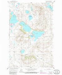
Other maps of this area

1940 · Aylmer
USGS Topo · 1:62,500

1941 · Selz
USGS Topo · 1:62,500
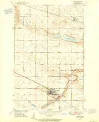
1951 · Harvey
USGS Topo · 1:24,000

1951 · Martin
USGS Topo · 1:24,000

1951 · Anamoose SW
USGS Topo · 1:24,000

1951 · Selz NW
USGS Topo · 1:24,000

1952 · New Rockford
USGS Topo · 1:250,000

1953 · Devils Lake
USGS Topo · 1:250,000

1954 · Minot
USGS Topo · 1:250,000

1954 · McClusky
USGS Topo · 1:250,000