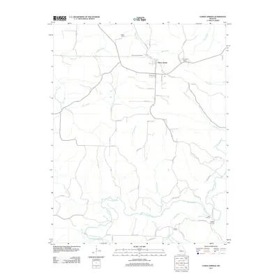
2011 Map of Climax Springs
USGS Topo · Published 2011About this map
Climax Springs and the surrounding Camden County hills are defined by the winding course of the Little Niangua River and its numerous tributaries. This 2011 survey illustrates a landscape where modern infrastructure meets long-standing rural landmarks. The community is anchored by the Climax Springs Lookout Tower and serviced by the Miller Airport to the northwest. Local genealogy is well-preserved through several burial grounds, including the Climax Springs Cemetery, Creach Cemetery, and Macks Creek Cemetery near the southern edge of the sheet. The terrain is marked by distinct drainages such as Fiery Fork, Rainy Creek, and Kolb Branch, which have shaped the local road network and settlement patterns. To the southeast, the small settlement of Coffee Hollow sits near the river's bend, while numerous rural routes like Bannister Hollow Rd and Drennon Chapel Dr provide access to the area's interior timberland and hollows.
Find a feature on this map
59 named features on this map. Tap any name to fly to it.
Don’t see what you’re looking for? This feature index may not catch every label — zoom into the map to look around manually.
Map Details
Editions of this 2011 Climax Springs Map
This is the sole edition of this map. No revisions or reprints were ever made.
Other maps of this area

1884 · Bolivar
USGS Topo · 1:125,000

1887 · Warsaw
USGS Topo · 1:125,000

1888 · Versailles
USGS Topo · 1:125,000

1892 · Bolivar
USGS Topo · 1:125,000

1893 · Versailles
USGS Topo · 1:125,000

1894 · Warsaw
USGS Topo · 1:125,000

1934 · Macks Creek
USGS Topo · 1:48,000

1934 · Irontown Ferry
USGS Topo · 1:24,000

1935 · Barnumton
USGS Topo · 1:24,000

1935 · Edwards
USGS Topo · 1:24,000