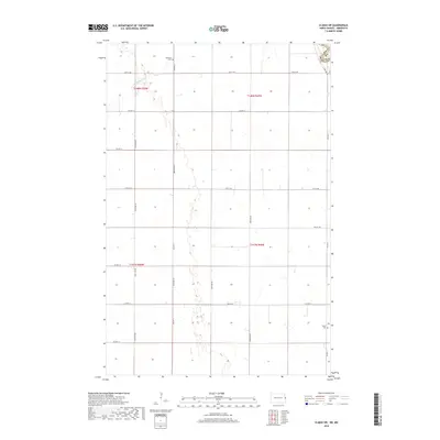
2018 Map of Climax SW
USGS Topo · Published 2018About this map
Buffalo Coulee meanders through this agricultural landscape along the border of North Dakota and Minnesota. The map illustrates a strictly organized grid of rural roads and county boundaries, where the intersection of Co Hwy 4 and 14th St NE marks a key junction near the northern edge. This area, divided among townships T148N and T147N, contains small markers of early community life. Genealogical interest is centered on two distinct burial grounds: Hillstead Cem in the north and Salem Cem to the southeast near Co Hwy 2. These sites, along with the intermittent wetlands and drainage patterns of the Red River Valley, reveal the quiet, persistent settlement of Polk County and Traill County in the late twenty-first century.
Find a feature on this map
21 named features on this map. Tap any name to fly to it.
Don’t see what you’re looking for? This feature index may not catch every label — zoom into the map to look around manually.
Map Details
Editions of this 2018 Climax SW Map
This is the sole edition of this map. No revisions or reprints were ever made.
Other maps of this area

1918 · Kelso
USGS Topo · 1:62,500

1918 · Hendrum
USGS Topo · 1:62,500

1919 · Eldred
USGS Topo · 1:62,500

1943 · Kelso
USGS Topo · 1:62,500

1952 · Grand Forks
USGS Topo · 1:250,000

1956 · Grand Forks
USGS Topo · 1:250,000

1963 · Shelly
USGS Topo · 1:24,000

1963 · Hillsboro
USGS Topo · 1:24,000

1964 · Climax NW
USGS Topo · 1:24,000

1964 · Climax SW
USGS Topo · 1:24,000