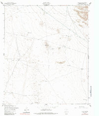
1955 Map of Clint NE
USGS Topo · Published 1985About this map
Backbone Hill and Horse Hill rise above a landscape defined by water management and boundary lines in this arid corner of El Paso County. Mapped by the Army Corps of Engineers and based on mid-1950s aerial photography, the terrain reveals a network of man-made features essential for livestock and passage. A series of watering holes, including Skunk Tank, Backbone Tank, and Lake Tank, are scattered across the desert floor, often situated near long stretches of fence and underground utilities. The presence of Sand Dunes and various wells like Rentleman Well and Red Well illustrates the reliance on specific points of water access. Significant infrastructure is marked by an aqueduct pipeline that traverses the northern reaches, indicating the large-scale movement of resources across this sparsely settled territory.
Find a feature on this map
16 named features on this map. Tap any name to fly to it.
Don’t see what you’re looking for? This feature index may not catch every label — zoom into the map to look around manually.
Map Details
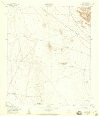
Editions of this 1955 Clint NE Map
2 editions found
Other maps of this area

1896 · El Paso
USGS Topo · 1:125,000

1903 · Cerro Alto
USGS Topo · 1:125,000

1908 · El Paso
USGS Topo · 1:125,000

1939 · Heuco Tanks
USGS Topo · 1:62,500

1940 · Heuco Tanks
USGS Topo · 1:62,500

1941 · Clint
USGS Topo · 1:62,500

1941 · Heuco Mountains
USGS Topo · 1:62,500

1942 · Borrego
USGS Topo · 1:62,500

1943 · Heuco Mountains
USGS Topo · 1:62,500

1944 · Heuco Tanks
USGS Topo · 1:62,500