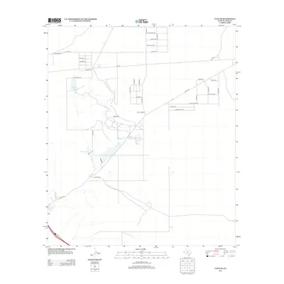
2012 Map of Clint SE
USGS Topo · Published 2012About this map
Rimrock and the surrounding El Paso County desert landscape are defined by a grid of rural residential development and critical water infrastructure. In this arid reach of the Chihuahuan Desert, the distribution of water is traced through various catchments such as Harry Tank, Roberts Tank, and Rimrock Tank, which support the sparse settlement. The naming of the local road network, including Wagon Train Ave, Western Rodeo Rd, and Pioneer Cir, reflects a cultural connection to the region's ranching and frontier heritage. To the south, larger water bodies like the Indian Cliffs Ranch Main Lake, Rattlesnake Lake, and Fabens Lake provide significant geographic markers near Hacienda Rd. This 2012 survey illustrates the transition of the West Texas landscape as traditional ranching spaces intersect with modern residential planning.
Find a feature on this map
38 named features on this map. Tap any name to fly to it.
Don’t see what you’re looking for? This feature index may not catch every label — zoom into the map to look around manually.
Map Details
Editions of this 2012 Clint SE Map
This is the sole edition of this map. No revisions or reprints were ever made.
Other maps of this area

1894 · Fort Hancock
USGS Topo · 1:125,000

1896 · El Paso
USGS Topo · 1:125,000

1896 · Rio Grande
USGS Topo · 1:125,000

1903 · Cerro Alto
USGS Topo · 1:125,000

1908 · El Paso
USGS Topo · 1:125,000

1941 · Clint
USGS Topo · 1:62,500

1941 · Tornillo
USGS Topo · 1:62,500

1942 · Borrego
USGS Topo · 1:62,500

1943 · Fort Hancock
USGS Topo · 1:62,500
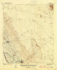
1945 · Clint
USGS Topo · 1:62,500
Featured Places
- East Clint Estates Colonia, TX
- Cattleman's North Ranchos Number 2 Colonia, TX
- Cattleman's North Ranchos Colonia, TX
- El Paso County, TX
- United States