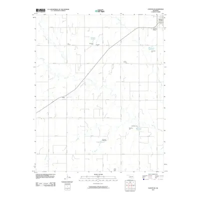
2010 Map of Clinton NE
USGS Topo · Published 2010About this map
The town of Thomas anchors the northeastern corner of this western Oklahoma landscape, serving as a focal point for the surrounding agricultural community. The terrain is defined by the drainage systems of Deer Creek, Horse Creek, and Little Deer Creek, which are punctuated by numerous small dams and private water holdings. These include Woldridge Reservoir, Kaiser Reservoir, and Christensen Reservoir, illustrating the critical role of water management in this prairie environment.
Find a feature on this map
35 named features on this map. Tap any name to fly to it.
Don’t see what you’re looking for? This feature index may not catch every label — zoom into the map to look around manually.
Map Details
Editions of this 2010 Clinton NE Map
This is the sole edition of this map. No revisions or reprints were ever made.
Other maps of this area

1955 · Clinton
USGS Topo · 1:250,000

1957 · Clinton
USGS Topo · 1:250,000

1957 · Clinton
USGS Topo · 1:62,500

1962 · Putnam
USGS Topo · 1:62,500

1964 · Oakwood
USGS Topo · 1:62,500

1964 · Weatherford
USGS Topo · 1:62,500

1976 · Clinton SE
USGS Topo · 1:24,000

1976 · Clinton SW
USGS Topo · 1:24,000

1976 · Clinton NW
USGS Topo · 1:24,000

1976 · Clinton NE
USGS Topo · 1:24,000