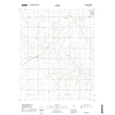
2018 Map of Clinton NE
USGS Topo · Published 2018About this map
Thomas occupies the northeast corner of this Custer County landscape, where the grid of W Orient St and W South St meets the open agricultural land of western Oklahoma. The area is defined by a dense network of sectional roads, including E0880 Rd and E0950 Rd, which cut across the drainages of Deer Cr and Turtle Cr. Small-scale water management is evident through numerous local impoundments such as Woldridge Reservoir and Bob Decker Reservoir, reflecting the region's reliance on captured surface water for ranching and farming. Genealogists will find interest in several rural burial sites that anchor the surrounding townships, including Mound Valley Cem near the town limits, Beck Cem to the west, and Bethany Cem situated among the draws of the central plains. The small settlement of Foley further illustrates the scattered nature of community centers in this rural expanse.
Find a feature on this map
31 named features on this map. Tap any name to fly to it.
Don’t see what you’re looking for? This feature index may not catch every label — zoom into the map to look around manually.
Map Details
Editions of this 2018 Clinton NE Map
This is the sole edition of this map. No revisions or reprints were ever made.
Other maps of this area

1955 · Clinton
USGS Topo · 1:250,000

1957 · Clinton
USGS Topo · 1:250,000

1957 · Clinton
USGS Topo · 1:62,500

1962 · Putnam
USGS Topo · 1:62,500

1964 · Oakwood
USGS Topo · 1:62,500

1964 · Weatherford
USGS Topo · 1:62,500

1976 · Clinton SE
USGS Topo · 1:24,000

1976 · Clinton SW
USGS Topo · 1:24,000

1976 · Clinton NW
USGS Topo · 1:24,000

1976 · Clinton NE
USGS Topo · 1:24,000