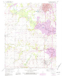
1953 Map of Clinton South
USGS Topo · Published 1982About this map
Clinton serves as the regional anchor on this survey, showing a dense grid of residential streets and civic institutions like City Hall, the Post Office, and several local schools including Washington Sch and Franklin Sch. The landscape is defined by the convergence of the South Grand River and Deepwater Creek, where the later expansion of the Harry S Truman Reservoir has significantly altered the original riverbanks.
Find a feature on this map
40 named features on this map. Tap any name to fly to it.
Don’t see what you’re looking for? This feature index may not catch every label — zoom into the map to look around manually.
Map Details
Editions of this 1953 Clinton South Map
3 editions found
Other maps of this area

1887 · Clinton
USGS Topo · 1:125,000

1894 · Clinton
USGS Topo · 1:125,000

1941 · Lowry City
USGS Topo · 1:24,000

1945 · Lowry City
USGS Topo · 1:24,000

1947 · Jefferson City
USGS Topo · 1:250,000

1953 · Gaines
USGS Topo · 1:24,000

1953 · Montrose
USGS Topo · 1:24,000

1953 · Hartwell
USGS Topo · 1:24,000

1953 · Clinton South
USGS Topo · 1:24,000

1953 · Calhoun West
USGS Topo · 1:24,000