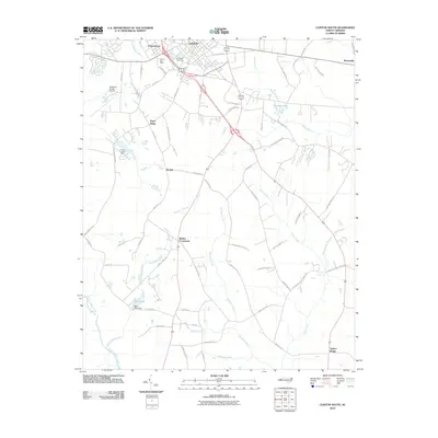
2010 Map of Clinton South
USGS Topo · Published 2010About this map
Clinton serves as the focal point of this coastal plain landscape, where the southern edge of the city transitions into a network of rural communities and agricultural tracts. Significant local infrastructure is evident at the Sampson County Airport and the Clinton Lookout Tower, while the Clinton Post Office and Springdale Cemetery provide specific points of interest for genealogical research. The geography is defined by a series of south-flowing waterways, including Buckhorn Creek and Crane Creek, which eventually feed into the Great Coharie Creek system.
Find a feature on this map
70 named features on this map. Tap any name to fly to it.
Don’t see what you’re looking for? This feature index may not catch every label — zoom into the map to look around manually.
Map Details
Editions of this 2010 Clinton South Map
This is the sole edition of this map. No revisions or reprints were ever made.
Other maps of this area

1909 · Coharie
USGS Topo · 1:62,500

1953 · Florence
USGS Topo · 1:250,000

1953 · Raleigh
USGS Topo · 1:250,000

1954 · Florence
USGS Topo · 1:250,000

1954 · Raleigh
USGS Topo · 1:250,000

1959 · Garland
USGS Topo · 1:62,500

1962 · Rose Hill
USGS Topo · 1:62,500

1975 · Faison
USGS Topo · 1:24,000

1982 · Elizabethtown
USGS Topo · 1:100,000
1984 · Delway
USGS Topo · 1:24,000