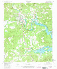
1973 Map of Clinton
USGS Topo · Published 1982About this map
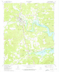
Clinton serves as a hub of activity in this northern Arkansas landscape, positioned at the confluence where the Archey Fork and South Fork meet to form the Little Red River. The influence of the mid-century damming project is evident in the sprawling waters of Greers Ferry Lake, which dominates the eastern and southern portions of the map. While much of the terrain is defined by prominent peaks like Clinton Mountain and Culpepper Mountain, the valley floors show a mix of municipal infrastructure and rural community markers. Family and community heritage is preserved at sites such as Hunter-Hill Cem and Pee Dee Ch, while the transition of transportation is noted by the presence of the Clinton Memorial Airfield alongside an older, Landing Field (Abandoned) located nearby.
Find a feature on this map
50 named features on this map. Tap any name to fly to it.
Don’t see what you’re looking for? This feature index may not catch every label — zoom into the map to look around manually.
Map Details
Editions of this 1973 Clinton Map
2 editions found
Other maps of this area

1892 · Marshall
USGS Topo · 1:125,000

1892 · Mountain View
USGS Topo · 1:125,000

1892 · Morrillton
USGS Topo · 1:125,000

1894 · Mountain View
USGS Topo · 1:125,000

1894 · Morrillton
USGS Topo · 1:125,000

1894 · Marshall
USGS Topo · 1:125,000

1901 · Marshall
USGS Topo · 1:125,000

1956 · Russellville
USGS Topo · 1:250,000

1961 · Bee Branch
USGS Topo · 1:62,500

1961 · Bee Branch
USGS Topo · 1:24,000