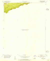
1954 Map of Clintwood
USGS Topo · Published 1955About this map
Pine Mountain forms a dramatic natural divide along the state line in this mid-century survey of the rugged borderlands between Kentucky and Virginia. Published in 1955 based on aerial photography and earlier coal company records, the map documents the steep, timbered ridges where Pike and Dickenson Counties meet. Water features like Elkhorn Cr and Pigeon Branch drain the northern slopes, while several high-elevation crossings, including Blowing Rock Gap, Jesse Gap, and Grassy Gap, indicate the traditional paths through this complex terrain. The topography was partially derived from the Consolidated Coal Company, reflecting the region's industrial importance during the post-war era. This specific sheet focuses on the high-elevation ridge environment rather than dense valley settlements, making it an essential resource for tracing the exact location of family-named gaps and the historically significant boundary line.
Find a feature on this map
9 named features on this map. Tap any name to fly to it.
Don’t see what you’re looking for? This feature index may not catch every label — zoom into the map to look around manually.
Map Details
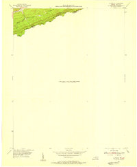
Editions of this 1954 Clintwood Map
2 editions found
Other maps of this area

1886 · Grundy
USGS Topo · 1:125,000

1890 · Whitesburg
USGS Topo · 1:125,000

1890 · Grundy
USGS Topo · 1:125,000

1892 · Grundy
USGS Topo · 1:125,000

1892 · Whitesburg
USGS Topo · 1:125,000

1912 · Pound
USGS Topo · 1:48,000

1913 · Clintwood
USGS Topo · 1:62,500

1914 · Pound
USGS Topo · 1:62,500

1914 · Vergie
USGS Topo · 1:48,000

1915 · Clintwood
USGS Topo · 1:62,500