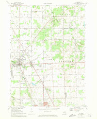
1969 Map of Clio
USGS Topo · Published 1971About this map
The intersection of the Chesapeake and Ohio railroad and the Dixie Highway anchors this 1969 survey of northern Genesee County. At the heart of the landscape is Clio, a hub surrounded by small residential developments like Farrandville and Thetford Center. The area exhibits a diverse mix of mid-century infrastructure and rural industry, including the Auto City Speedway and several active aviation points such as the Montague Landing Strip and Kenyon Landing Strip. For local historians and genealogists, the map provides precise locations for Woodlawn Cem, Pine Grove Cem, and the extensive Flint Memorial Park (Cemetery). Cultural and educational landmarks of the era are well-preserved here, including the Vienna Greens Country Club, Bethel Chapel, and several local schools like Lacure Sch and Garner Sch. The terrain is defined by numerous water features and drains, most notably Dead Creek and the meandering Pine Run.
Find a feature on this map
59 named features on this map. Tap any name to fly to it.
Don’t see what you’re looking for? This feature index may not catch every label — zoom into the map to look around manually.
Map Details
Editions of this 1969 Clio Map
2 editions found
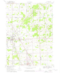
Other maps of this area

1919 · Saginaw
USGS Topo · 1:62,500

1919 · Burt
USGS Topo · 1:62,500

1920 · Flint
USGS Topo · 1:62,500

1921 · Burt
USGS Topo · 1:62,500

1922 · Flint
USGS Topo · 1:62,500

1941 · Saginaw
USGS Topo · 1:62,500

1943 · Burt
USGS Topo · 1:62,500

1943 · Saginaw
USGS Topo · 1:62,500

1943 · Flint
USGS Topo · 1:62,500

1954 · Flint
USGS Topo · 1:250,000