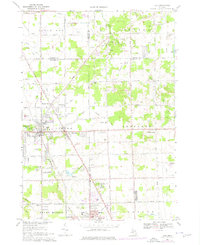
1969 Map of Clio
USGS Topo · Published 1976About this map
Clio and the surrounding townships of Vienna and Thetford are shown during a period of mid-century growth along the Dixie Highway corridor. The landscape is a mix of small-town residential clusters and active industry, evidenced by numerous sandpits and gravel operations scattered north of Thetford Center. The presence of the Chesapeake and Ohio RR cutting through the center of Clio underscores the area's historical reliance on rail for transportation and commerce.
Find a feature on this map
79 named features on this map. Tap any name to fly to it.
Don’t see what you’re looking for? This feature index may not catch every label — zoom into the map to look around manually.
Map Details
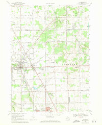
Editions of this 1969 Clio Map
2 editions found
Other maps of this area

1919 · Saginaw
USGS Topo · 1:62,500

1919 · Burt
USGS Topo · 1:62,500

1920 · Flint
USGS Topo · 1:62,500

1921 · Burt
USGS Topo · 1:62,500

1922 · Flint
USGS Topo · 1:62,500

1941 · Saginaw
USGS Topo · 1:62,500

1943 · Burt
USGS Topo · 1:62,500

1943 · Saginaw
USGS Topo · 1:62,500

1943 · Flint
USGS Topo · 1:62,500

1954 · Flint
USGS Topo · 1:250,000