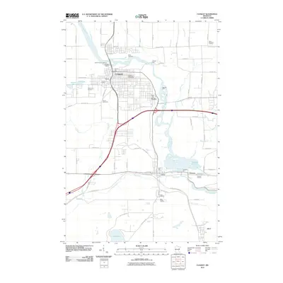
2010 Map of Cloquet
USGS Topo · Published 2010About this map
The Saint Louis River corridor serves as the industrial and geographic spine of this Carlton County region, powering a string of settlements from Cloquet down to Thomson. This 2010 survey illustrates the heavy reliance on the river's descent, marked by structures such as the Knife Falls Dam, Cloquet Dam, Scanlon Dam, and Thomson Dam. The map provides a detailed view of the municipal infrastructure supporting these communities, including the Cloquet Waterworks and various post offices.
Find a feature on this map
75 named features on this map. Tap any name to fly to it.
Don’t see what you’re looking for? This feature index may not catch every label — zoom into the map to look around manually.
Map Details
Editions of this 2010 Cloquet Map
This is the sole edition of this map. No revisions or reprints were ever made.
Other maps of this area

1953 · Saginaw
USGS Topo · 1:24,000

1953 · Adolph
USGS Topo · 1:24,000

1953 · Brookston
USGS Topo · 1:24,000

1953 · Duluth
USGS Topo · 1:250,000

1954 · Cloquet
USGS Topo · 1:24,000

1954 · Wrenshall
USGS Topo · 1:24,000

1954 · Frogner
USGS Topo · 1:24,000

1954 · Atkinson
USGS Topo · 1:24,000

1954 · Esko
USGS Topo · 1:24,000

1954 · Iverson
USGS Topo · 1:24,000