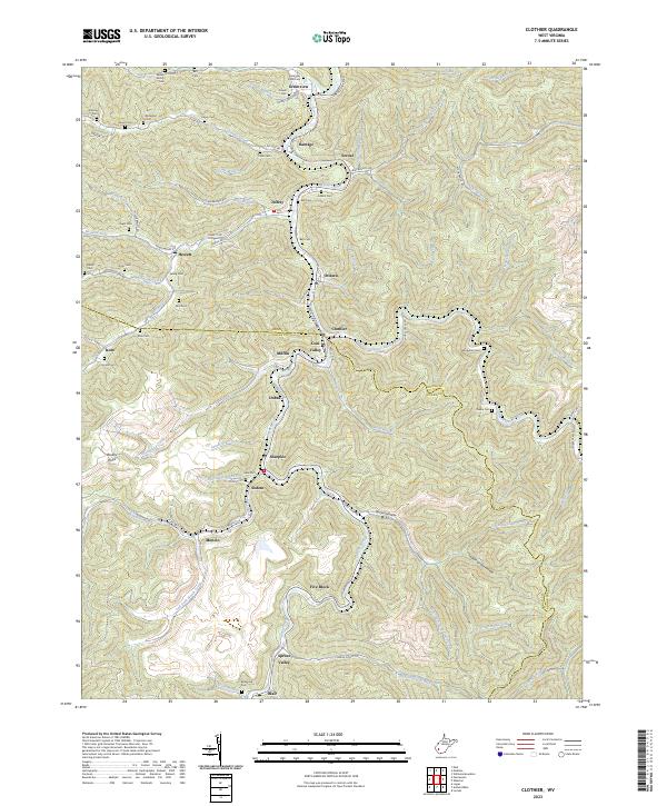
2023 Map of Clothier
USGS Topo · Published 2023About this map
Clothier sits at the heart of this West Virginia landscape, where the Boone Co Logan Co line threads through steep terrain and narrow creek valleys. The settlement pattern follows the drainage networks of Spruce Fork and Spruce Laurel Fork, with numerous small communities such as Ottawa, Sharples, and Monclo marking the hollows. The presence of Mining Rd and multiple hillside cemeteries, including the Stolling Cem and Kentucky Knoll Cem, reflects the long-standing intersection of local industry and deep-rooted family history in these Appalachian ridges. Along the southern edge, the Logan Co Boone Co boundary continues past the settlements of Spruce Valley and Blair, while distinct geographic markers like Indian Grave Hollow and Brushy Point define the high ground between the watercourses.
Find a feature on this map
89 named features on this map. Tap any name to fly to it.
Don’t see what you’re looking for? This feature index may not catch every label — zoom into the map to look around manually.
Map Details
Editions of this 2023 Clothier Map
This is the sole edition of this map. No revisions or reprints were ever made.
Other maps of this area

1891 · Oceana
USGS Topo · 1:125,000

1893 · Oceana
USGS Topo · 1:125,000

1898 · Oceana
USGS Topo · 1:125,000

1899 · Charleston
USGS Topo · 1:125,000

1909 · Peytona
USGS Topo · 1:48,000

1910 · Bald Knob
USGS Topo · 1:48,000

1911 · Peytona
USGS Topo · 1:62,500

1911 · Madison
USGS Topo · 1:62,500

1912 · Bald Knob
USGS Topo · 1:62,500

1913 · Logan
USGS Topo · 1:62,500