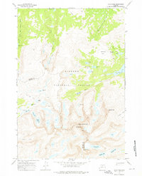
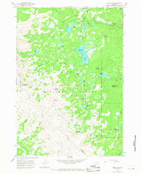
1967 Map of Cloud Peak
USGS Topo · Published 1976About this map
Cloud Peak and Black Tooth Mountain dominate this high-altitude landscape along the border of Johnson and Big Horn counties. Surveyed in the mid-1960s, this area of the Bighorn National Forest showcases a complex hydrological network of alpine lakes and glacial features. Water management for the surrounding regions is evident in the presence of the Cross Creek Res and Kearny Reservoir, while the vast system of hiking paths, including the Solitude Trail and Cliff Lake Trail, reveals how the area was accessed for recreation. The map captures the rugged character of Highland Park and its various water bodies like Myrtle Lake and Peggy Lake, providing an essential record of the Wyoming high country's physical geography before modern climatic shifts impacted these alpine environments.
Find a feature on this map
39 named features on this map. Tap any name to fly to it.
Don’t see what you’re looking for? This feature index may not catch every label — zoom into the map to look around manually.
Map Details
Editions of this 1967 Cloud Peak Map
4 editions found
Other maps of this area

1895 · Dayton
USGS Topo · 1:125,000

1899 · Cloud peak
USGS Topo · 1:125,000

1901 · Cloud Peak
USGS Topo · 1:125,000

1901 · Dayton
USGS Topo · 1:125,000

1955 · Sheridan
USGS Topo · 1:250,000

1958 · Sheridan
USGS Topo · 1:250,000

1960 · Shell Lake
USGS Topo · 1:24,000

1960 · Lake Solitude
USGS Topo · 1:24,000

1962 · Sheridan
USGS Topo · 1:250,000
1964 · Dome Lake
USGS Topo · 1:24,000