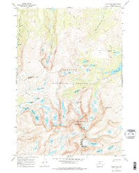
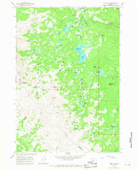
1967 Map of Cloud Peak
USGS Topo · Published 1987About this map
Cloud Peak and the surrounding high-elevation interior of the Bighorn National Forest dominate this 1967 survey, which maps the dramatic divide between Big Horn and Johnson counties. The landscape is characterized by a dense concentration of glacial lakes and reservoirs, including Kearny Reservoir, Lake Geneva, and Glacier Lake, highlighting the critical role of these high-altitude watersheds for the region below. This survey captures a specific network of foot travel and recreation prior to later modern developments, marking the Solitude Trail, East Fork Trail, and Cliff Lake Trail. From the towering heights of Black Tooth Mountain and Mt Woolsey down to the established Highland Park Campground, the map illustrates a protected wilderness area where geological features and hydrological resources are the primary focus of human interest.
Find a feature on this map
38 named features on this map. Tap any name to fly to it.
Don’t see what you’re looking for? This feature index may not catch every label — zoom into the map to look around manually.
Map Details
Editions of this 1967 Cloud Peak Map
4 editions found
Other maps of this area

1895 · Dayton
USGS Topo · 1:125,000

1899 · Cloud peak
USGS Topo · 1:125,000

1901 · Cloud Peak
USGS Topo · 1:125,000

1901 · Dayton
USGS Topo · 1:125,000

1955 · Sheridan
USGS Topo · 1:250,000

1958 · Sheridan
USGS Topo · 1:250,000

1960 · Shell Lake
USGS Topo · 1:24,000

1960 · Lake Solitude
USGS Topo · 1:24,000

1962 · Sheridan
USGS Topo · 1:250,000
1964 · Dome Lake
USGS Topo · 1:24,000