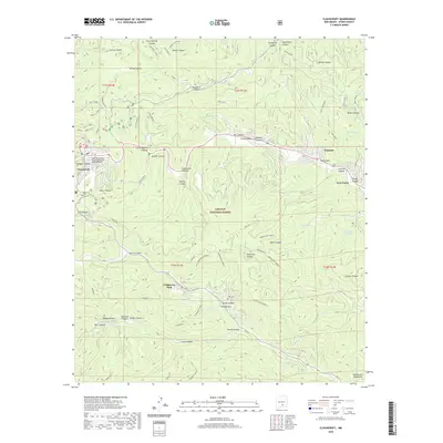
2020 Map of Cloudcroft
USGS Topo · Published 2020About this map
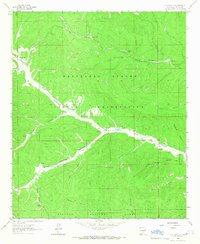
Cloudcroft sits high in the Sacramento Mountains on this 2020 topographic map, serving as a gateway to the Lincoln National Forest. The local geography is defined by a dense network of ridges and canyons, most notably the series of Pumphouse Ridge formations and the deep cuts of La Luz Canyon and Russia Canyon. A significant cultural landmark is the Mexican Canyon Railroad Trestle Historic Site, which preserves a piece of the high-altitude rail engineering that once served this timber and resort community.
Find a feature on this map
81 named features on this map. Tap any name to fly to it.
Don’t see what you’re looking for? This feature index may not catch every label — zoom into the map to look around manually.
Map Details
Editions of this 2020 Cloudcroft Map
This is the sole edition of this map. No revisions or reprints were ever made.
Other maps of this area
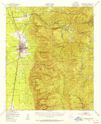
1950 · Alamogordo
USGS Topo · 1:62,500
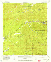
1950 · Mescalero
USGS Topo · 1:62,500
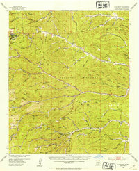
1952 · Cloudcroft
USGS Topo · 1:62,500

1954 · Carlsbad
USGS Topo · 1:250,000
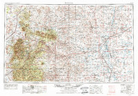
1955 · Roswell
USGS Topo · 1:250,000

1958 · Carlsbad
USGS Topo · 1:250,000
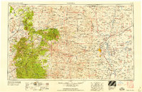
1958 · Roswell
USGS Topo · 1:250,000
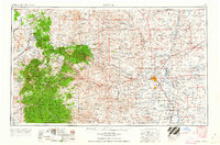
1962 · Roswell
USGS Topo · 1:250,000
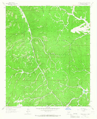
1963 · Firman Canyon
USGS Topo · 1:24,000
1963 · Elk-Silver
USGS Topo · 1:24,000