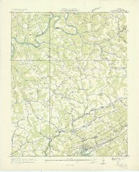
1936 Map of Clouds
USGS Topo · Published 1936About this map
Straight Creek Mines anchor the southeastern corner of this landscape, situated beneath the heights of Wallen Ridge in a region defined by its narrow valleys and ridges. The Tennessee Valley Authority's massive project is evident along the Powell River, where the rising waters of the Norris Reservoir and its associated Norris Reservation Boundary began to reshape the local geography in the mid-1930s. The map illustrates a rural economy transitioning from traditional milling at Meyer Mill and Curps Mill toward more industrial extraction.
Find a feature on this map
98 named features on this map. Tap any name to fly to it.
Don’t see what you’re looking for? This feature index may not catch every label — zoom into the map to look around manually.
Map Details
Editions of this 1936 Clouds Map
2 editions found
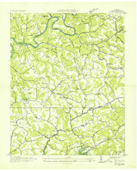
Other maps of this area

1886 · Cumberland Gap
USGS Topo · 1:125,000

1888 · Cumberland Gap
USGS Topo · 1:125,000

1891 · Cumberland Gap
USGS Topo · 1:125,000

1897 · Maynardville
USGS Topo · 1:125,000

1900 · Maynardville
USGS Topo · 1:125,000

1903 · Middlesboro
USGS Topo · 1:48,000

1927 · Middlesboro
USGS Topo · 1:62,500

1930 · Middlesboro
USGS Topo · 1:62,500

1935 · Mingo Mountains
USGS Topo · 1:24,000

1935 · Cumberland Gap
USGS Topo · 1:24,000