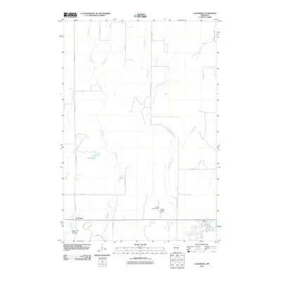
2010 Map of Cloverdale
USGS Topo · Published 2010About this map
Cloverdale serves as the primary focal point of this northern Pine County landscape, situated where several local roads and rural routes converge. The terrain is defined by an intricate network of waterways, including the winding Sand Creek and Little Sand Creek, which course through the central and eastern sections. These streams are punctuated by modern water management features such as the Orville Harmon Dam and the Harmon Wetland Dam, reflecting a landscape managed for both drainage and conservation.
Find a feature on this map
26 named features on this map. Tap any name to fly to it.
Don’t see what you’re looking for? This feature index may not catch every label — zoom into the map to look around manually.
Map Details
Editions of this 2010 Cloverdale Map
This is the sole edition of this map. No revisions or reprints were ever made.
Other maps of this area

1950 · Grantsburg
USGS Topo · 1:48,000

1953 · Duluth
USGS Topo · 1:250,000

1953 · Stillwater
USGS Topo · 1:250,000

1955 · Stillwater
USGS Topo · 1:250,000

1958 · Stillwater
USGS Topo · 1:250,000

1958 · Duluth
USGS Topo · 1:250,000

1961 · Sandstone
USGS Topo · 1:62,500

1961 · Pine City
USGS Topo · 1:62,500

1962 · Cloverdale
USGS Topo · 1:62,500

1962 · Grantsburg
USGS Topo · 1:62,500