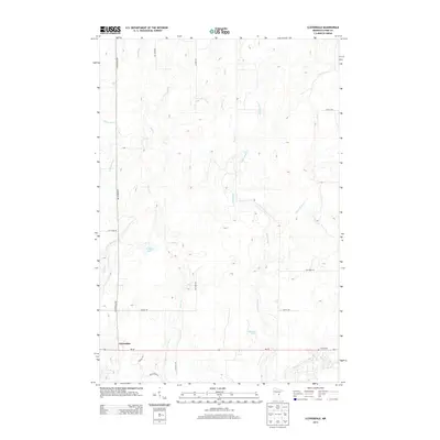
2013 Map of Cloverdale
USGS Topo · Published 2013About this map
Cloverdale sits at the junction of MN-48 and Cloverdale Rd in this pocket of Pine County, characterized by a complex network of glacial hydrology. Numerous small waterways including Sand Cr, Hay Cr, and Little Sand Cr drain the terrain, which is dotted with wetlands and small basins like Wallace Lake and Harmon Pool. This survey documents the rural road network at the start of the 2010s, showing family and descriptive local names such as Cholletts Rd, Elk Horn Rd, and Log Cabin Rd. The presence of the Clover Cem on the eastern edge of the township provides a clear point of reference for genealogists tracing local families in Arlone Township. The map's layout highlights how these secondary roads like Arlone Rd and Cattail Rd navigate around the numerous unnamed depressions and marshes that define the local topography.
Find a feature on this map
25 named features on this map. Tap any name to fly to it.
Don’t see what you’re looking for? This feature index may not catch every label — zoom into the map to look around manually.
Map Details
Editions of this 2013 Cloverdale Map
This is the sole edition of this map. No revisions or reprints were ever made.
Other maps of this area

1950 · Grantsburg
USGS Topo · 1:48,000

1953 · Duluth
USGS Topo · 1:250,000

1953 · Stillwater
USGS Topo · 1:250,000

1955 · Stillwater
USGS Topo · 1:250,000

1958 · Stillwater
USGS Topo · 1:250,000

1958 · Duluth
USGS Topo · 1:250,000

1961 · Sandstone
USGS Topo · 1:62,500

1961 · Pine City
USGS Topo · 1:62,500

1962 · Cloverdale
USGS Topo · 1:62,500

1962 · Grantsburg
USGS Topo · 1:62,500