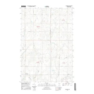
2016 Map of Cloverdale
USGS Topo · Published 2016About this map
Cloverdale serves as the central settlement in this portion of Pine County, situated among a complex network of wetlands and small watercourses. The landscape is defined by the drainage of Sand Cr and Little Sand Cr, which feed into local catchments like the Orville Harmon Reservoir. A grid of rural roads and land tracks, such as Arlone Rd and Cloverdale Rd, provides access to remote timber and wetland areas, while the presence of the Clover Cem near the intersection of the county road and Hay Cr offers a specific point of interest for local genealogical research. This survey illustrates the modern distribution of family-named roads like Seivert Dr and Larson Rd against the natural features of Wallace Lake and Zingback Brook, reflecting the persistent rural character of the Minnesota Northwoods.
Find a feature on this map
35 named features on this map. Tap any name to fly to it.
Don’t see what you’re looking for? This feature index may not catch every label — zoom into the map to look around manually.
Map Details
Editions of this 2016 Cloverdale Map
This is the sole edition of this map. No revisions or reprints were ever made.
Other maps of this area

1950 · Grantsburg
USGS Topo · 1:48,000

1953 · Duluth
USGS Topo · 1:250,000

1953 · Stillwater
USGS Topo · 1:250,000

1955 · Stillwater
USGS Topo · 1:250,000

1958 · Stillwater
USGS Topo · 1:250,000

1958 · Duluth
USGS Topo · 1:250,000

1961 · Sandstone
USGS Topo · 1:62,500

1961 · Pine City
USGS Topo · 1:62,500

1962 · Cloverdale
USGS Topo · 1:62,500

1962 · Grantsburg
USGS Topo · 1:62,500