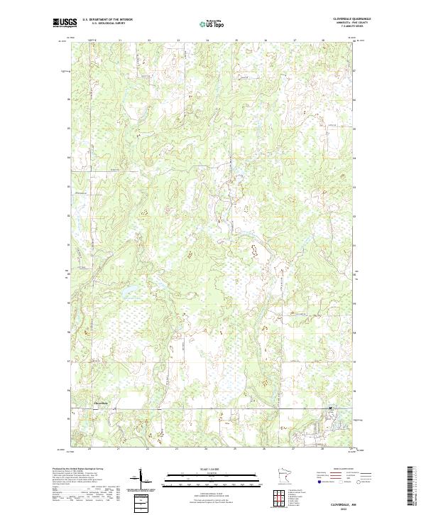
2022 Map of Cloverdale
USGS Topo · Published 2022About this map
Cloverdale serves as the primary point of settlement in this part of Pine County, situated where Sand Cr and Bear Cr pass through the landscape. The surrounding area is defined by a dense network of minor waterways including Partridge Cr, Little Sand Cr, and the slow-moving Vimbrick Brook. These drainages feed into larger basins like Wallace Lake, illustrating a terrain heavily influenced by its hydrology. Local history is anchored at the southern edge of the quadrangle by the Clover Cem, a vital site for genealogical research in this rural community. The road network, featuring names such as Arlone Rd and Log Cabin Rd, reflects a pattern of rural development oriented around the section lines of the Public Land Survey System, specifically within townships T41N and T42N.
Find a feature on this map
36 named features on this map. Tap any name to fly to it.
Don’t see what you’re looking for? This feature index may not catch every label — zoom into the map to look around manually.
Map Details
Editions of this 2022 Cloverdale Map
This is the sole edition of this map. No revisions or reprints were ever made.
Other maps of this area

1950 · Grantsburg
USGS Topo · 1:48,000

1953 · Duluth
USGS Topo · 1:250,000

1953 · Stillwater
USGS Topo · 1:250,000

1955 · Stillwater
USGS Topo · 1:250,000

1958 · Stillwater
USGS Topo · 1:250,000

1958 · Duluth
USGS Topo · 1:250,000

1961 · Sandstone
USGS Topo · 1:62,500

1961 · Pine City
USGS Topo · 1:62,500

1962 · Cloverdale
USGS Topo · 1:62,500

1962 · Grantsburg
USGS Topo · 1:62,500