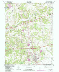
1970 Map of Cloverdale
USGS Topo · Published 1987About this map
Putnamville and the expansive State Prison Farm dominate the northwestern landscape of this Putnam County survey, which captures the region during a period of transition and infrastructure development. The drainage patterns of Deer Creek, Limestone Creek, and Mosquito Creek define the local topography, leading south toward the waters of Cagles Mill Lake. In the south, the town of Cloverdale serves as a hub, positioned near Interchange 41 and surrounded by smaller settlements like Cradick Corner. Notable local landmarks include the Drive-in Theater along the highway and various family-named features such as McCoy Hill and Hughes Hill. The presence of an Old RR Grade and a Landing Strip illustrates the area's evolving transportation needs, while the Lieber State Recreation Area marks the recreational importance of the lakefront.
Find a feature on this map
51 named features on this map. Tap any name to fly to it.
Don’t see what you’re looking for? This feature index may not catch every label — zoom into the map to look around manually.
Map Details
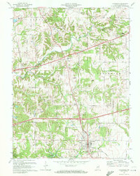
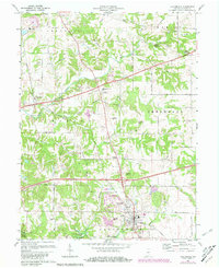
Editions of this 1970 Cloverdale Map
3 editions found
Other maps of this area

1949 · Quincy
USGS Topo · 1:24,000

1951 · Clinton Falls
USGS Topo · 1:24,000

1952 · Reelsville
USGS Topo · 1:24,000

1953 · Indianapolis
USGS Topo · 1:250,000

1956 · Indianapolis
USGS Topo · 1:250,000

1956 · Cloverdale
USGS Topo · 1:24,000

1956 · Cataract
USGS Topo · 1:24,000

1956 · Eminence
USGS Topo · 1:24,000

1957 · Indianapolis
USGS Topo · 1:250,000
1957 · Poland
USGS Topo · 1:24,000