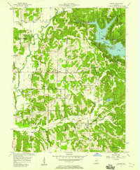
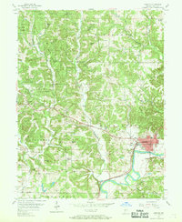
1957 Map of Poland
USGS Topo · Published 1958About this map
The Cagle Mill Dam and the rising waters of Cataract Lake dominate the landscape of central Indiana in the late 1950s. This survey illustrates the newly established recreation areas of Richard Lieber State Park, including Hulman Beach and the Middle Narrows. Away from the reservoir, the map details a rural network of small agricultural settlements and crossroads. The village of Poland sits central to the quadrangle, supported by the Township Sch and nearby Zion Ch. Genealogists will find a wealth of family history preserved in remote burial grounds like Raab Cem, McCullough Cem, and Wilkerson Cem. The southern reach of the map transitions into the wooded ridges of the Owen-Putnam State Forest, where Jordan Creek winds toward the settlement of Jordan.
Find a feature on this map
54 named features on this map. Tap any name to fly to it.
Don’t see what you’re looking for? This feature index may not catch every label — zoom into the map to look around manually.
Map Details
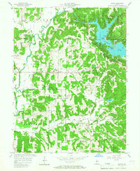
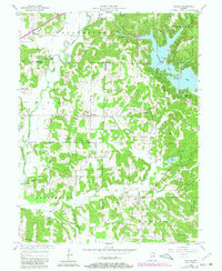
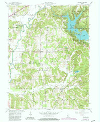
Editions of this 1957 Poland Map
4 editions found
Other maps of this area

1908 · Clay City
USGS Topo · 1:48,000

1910 · Clay City
USGS Topo · 1:62,500

1950 · Brazil East
USGS Topo · 1:24,000

1952 · Reelsville
USGS Topo · 1:24,000

1953 · Indianapolis
USGS Topo · 1:250,000

1956 · Indianapolis
USGS Topo · 1:250,000

1956 · Cloverdale
USGS Topo · 1:24,000

1956 · Cataract
USGS Topo · 1:24,000

1956 · Patricksburg
USGS Topo · 1:24,000
1956 · Spencer
USGS Topo · 1:24,000