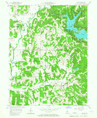
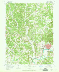
1957 Map of Poland
USGS Topo · Published 1967About this map
Cataract Lake dominates the eastern landscape of this Indiana interior, where the Richard Lieber State Park meets the borders of Putnam and Owen counties. The settlement of Poland serves as a central hub, surrounded by a high density of small family cemeteries and rural institutions that define the mid-century social geography of Cass and Jackson townships. Notable local landmarks include the Township Sch and the Zion Ch, reflecting the communal centers of the era.
Find a feature on this map
68 named features on this map. Tap any name to fly to it.
Don’t see what you’re looking for? This feature index may not catch every label — zoom into the map to look around manually.
Map Details
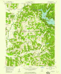
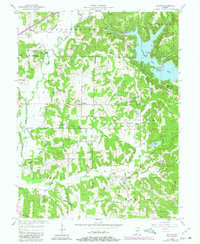
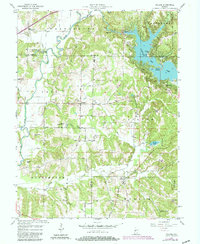
Editions of this 1957 Poland Map
4 editions found
Other maps of this area

1908 · Clay City
USGS Topo · 1:48,000

1910 · Clay City
USGS Topo · 1:62,500

1950 · Brazil East
USGS Topo · 1:24,000

1952 · Reelsville
USGS Topo · 1:24,000

1953 · Indianapolis
USGS Topo · 1:250,000

1956 · Indianapolis
USGS Topo · 1:250,000

1956 · Cloverdale
USGS Topo · 1:24,000

1956 · Cataract
USGS Topo · 1:24,000

1956 · Patricksburg
USGS Topo · 1:24,000
1956 · Spencer
USGS Topo · 1:24,000