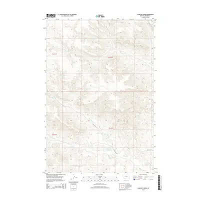
2014 Map of Clubfoot Creek
USGS Topo · Published 2014About this map
The high drainage basins of the Birney District are defined by a complex network of ephemeral forks and named springs that sustained ranching and transit in this portion of Rosebud County. Clubfoot Creek and Black Eagle Fork carve through the high ground, creating a landscape where water sources were the primary landmarks for early navigation. Named springs such as Elliot Spring, Heart Spring, and Rondeau Spring are scattered across the terrain, indicating the vital points of access for livestock and travelers. The road network is sparse, centered on the Cook Creek Rd and Ashland-Birney Rd, which follow the natural contours of the valley floors. Other notable watercourses like Saint Johns Fork and Mission Cr further illustrate the intricate hydrology of the eastern Montana uplands.
Find a feature on this map
23 named features on this map. Tap any name to fly to it.
Don’t see what you’re looking for? This feature index may not catch every label — zoom into the map to look around manually.
Map Details
Editions of this 2014 Clubfoot Creek Map
This is the sole edition of this map. No revisions or reprints were ever made.
Other maps of this area

1954 · Hardin
USGS Topo · 1:250,000

1957 · Hardin
USGS Topo · 1:250,000

1958 · Hardin
USGS Topo · 1:250,000

1958 · Fisher Butte
USGS Topo · 1:24,000

1958 · Lame Deer
USGS Topo · 1:24,000

1958 · Hollowwood Creek
USGS Topo · 1:24,000

1966 · Browns Mountain
USGS Topo · 1:24,000

1966 · Birney Day School
USGS Topo · 1:24,000

1967 · Clubfoot Creek
USGS Topo · 1:24,000

1967 · Birney
USGS Topo · 1:24,000