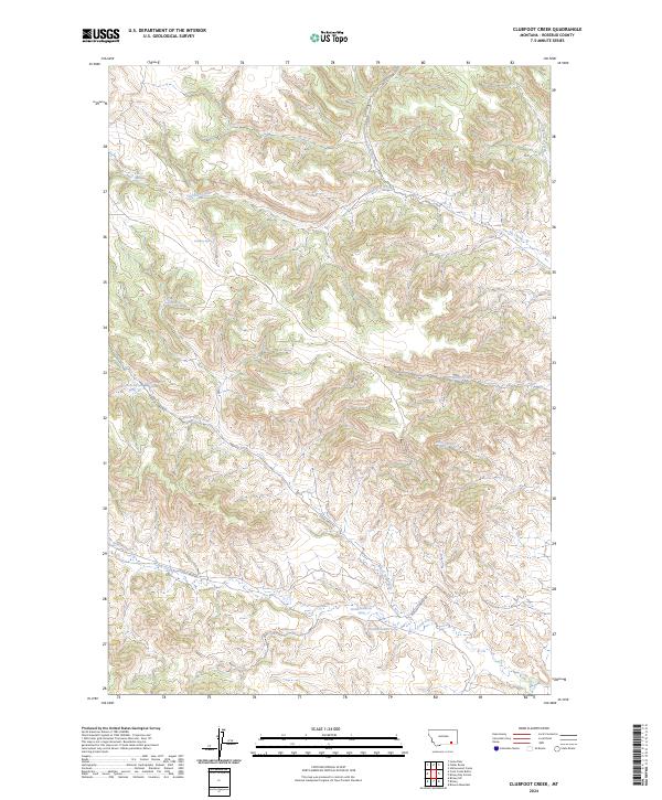
2024 Map of Clubfoot Creek
USGS Topo · Published 2024About this map
Tongue River serves as the eastern boundary for this terrain in Rosebud, Montana, where the landscape is defined by the dendritic drainage patterns of the Clubfoot Creek and Birney Creek systems. This 2024 U.S. Geological Survey record reveals a ranching and watershed environment where water sources are vital landmarks. Numerous named springs, such as Elliot Spring, B Heart Spring, and Rondeau Spring, are scattered across the high ground, indicating the reliance on specific points of groundwater in this semi-arid region. The road network is sparse, centered on the Ashland-Birney Rd and Cook Creek Rd, which follow the natural contours of the valley floors. The convergence of Black Eagle Fork and Saint Johns Fork into larger tributaries like Cook Creek illustrates the complex hydrologic network that has historically dictated land use and travel routes in this part of Rosebud County.
Find a feature on this map
21 named features on this map. Tap any name to fly to it.
Don’t see what you’re looking for? This feature index may not catch every label — zoom into the map to look around manually.
Map Details
Editions of this 2024 Clubfoot Creek Map
This is the sole edition of this map. No revisions or reprints were ever made.
Other maps of this area

1954 · Hardin
USGS Topo · 1:250,000

1957 · Hardin
USGS Topo · 1:250,000

1958 · Hardin
USGS Topo · 1:250,000

1958 · Fisher Butte
USGS Topo · 1:24,000

1958 · Lame Deer
USGS Topo · 1:24,000

1958 · Hollowwood Creek
USGS Topo · 1:24,000

1966 · Browns Mountain
USGS Topo · 1:24,000

1966 · Birney Day School
USGS Topo · 1:24,000

1967 · Clubfoot Creek
USGS Topo · 1:24,000

1967 · Birney
USGS Topo · 1:24,000