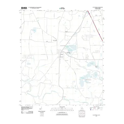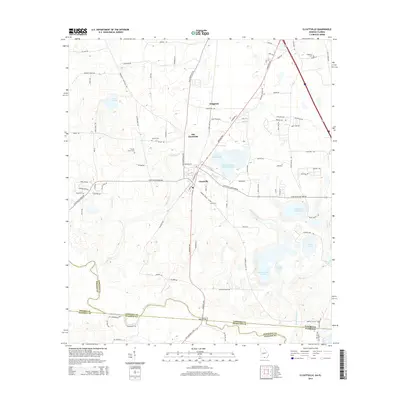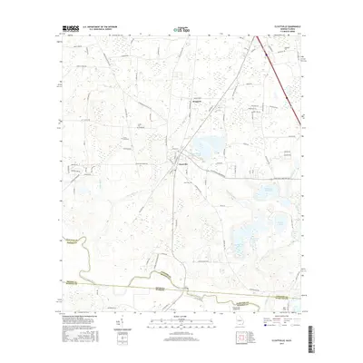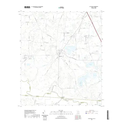
2024 Map of Clyattville
USGS Topo · Published 2024About this map
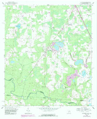
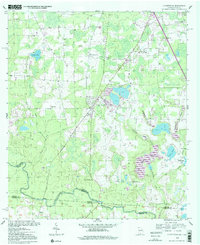
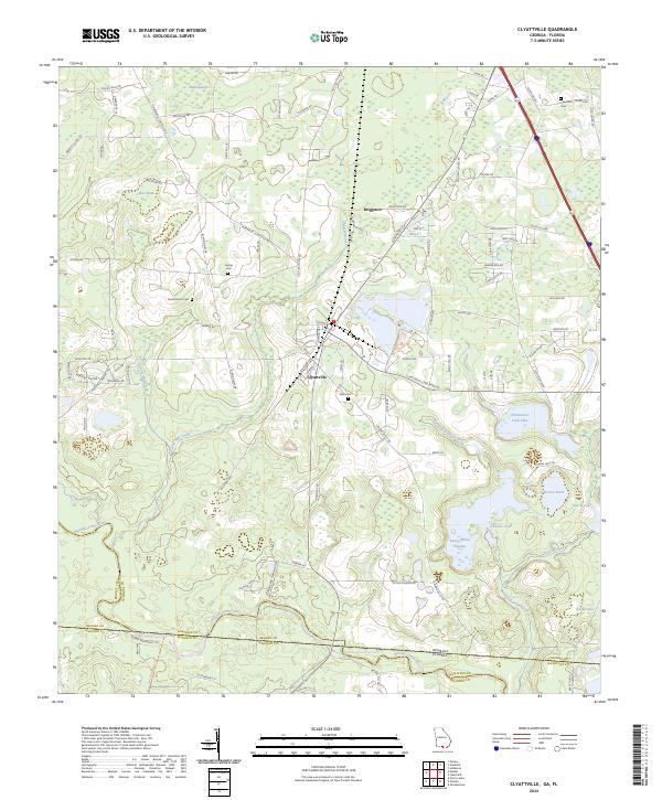
Clyattville and the nearby settlement of Briggston anchor this landscape along the Georgia and Florida border. The terrain is defined by an extensive network of wetlands and waterways, including the winding course of the Withlacoochee River and the broad reaches of Mud Swamp. For those tracing local heritage, the map identifies several burial grounds such as Copeland Cem and Hunter Cem, which are scattered among the agricultural tracts and timberlands that characterize Lowndes County.
Find a feature on this map
104 named features on this map. Tap any name to fly to it.
Don’t see what you’re looking for? This feature index may not catch every label — zoom into the map to look around manually.
Map Details
Editions of this 2024 Clyattville Map
This is the sole edition of this map. No revisions or reprints were ever made.
Historical Maps of Old Clyattville Through Time
7 maps found