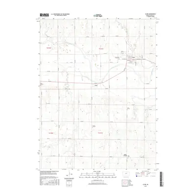
2015 Map of Clyde
USGS Topo · Published 2015About this map
Clyde serves as the primary hub in this portion of Cloud County, situated along the north bank of the Republican River. The town's grid is well-defined by streets such as Washington St and Broadway St, extending toward the fertile valley floor where Elk Cr joins the main river system. The landscape is marked by a high density of rural burial grounds, including Mount Hope Cem and Mount Calvary Catholic Cem just north of the city center, while Saint Joseph and its namesake Saint Joseph Cem anchor the southeastern corner. The agricultural character of the region is evident in the extensive township and range system, with Rust RD and Teal RD providing critical transit between the smaller community of Ames and the surrounding farms. This area showcases a classic Kansas river-valley settlement pattern, where water access and flat topography dictated the placement of towns and cemeteries.
Find a feature on this map
55 named features on this map. Tap any name to fly to it.
Don’t see what you’re looking for? This feature index may not catch every label — zoom into the map to look around manually.
Map Details
Editions of this 2015 Clyde Map
This is the sole edition of this map. No revisions or reprints were ever made.
Other maps of this area

1891 · Clay Center
USGS Topo · 1:125,000

1892 · Concordia
USGS Topo · 1:125,000

1892 · Minneapolis
USGS Topo · 1:125,000

1893 · Washington
USGS Topo · 1:125,000

1955 · Manhattan
USGS Topo · 1:250,000

1956 · Manhattan
USGS Topo · 1:250,000

1957 · Manhattan
USGS Topo · 1:250,000

1964 · Miltonvale NE
USGS Topo · 1:24,000

1965 · Clifton
USGS Topo · 1:24,000

1965 · Aurora
USGS Topo · 1:24,000