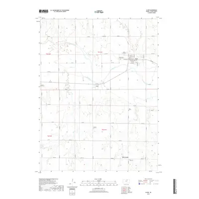
2018 Map of Clyde
USGS Topo · Published 2018About this map
Clyde serves as the primary hub of this north-central Kansas landscape, situated near the confluence of the Republican River and Elk Cr. The town's grid is dense with local history, featuring street names like Washington St and S Bolton Ave, alongside specialized sites such as the Mount Calvary Catholic Cem. To the south, the village of Ames sits along Rust Rd near the winding course of Elm Creek, illustrating the dispersed settlement patterns typical of the region's agricultural roots.
Find a feature on this map
59 named features on this map. Tap any name to fly to it.
Don’t see what you’re looking for? This feature index may not catch every label — zoom into the map to look around manually.
Map Details
Editions of this 2018 Clyde Map
This is the sole edition of this map. No revisions or reprints were ever made.
Other maps of this area

1891 · Clay Center
USGS Topo · 1:125,000

1892 · Concordia
USGS Topo · 1:125,000

1892 · Minneapolis
USGS Topo · 1:125,000

1893 · Washington
USGS Topo · 1:125,000

1955 · Manhattan
USGS Topo · 1:250,000

1956 · Manhattan
USGS Topo · 1:250,000

1957 · Manhattan
USGS Topo · 1:250,000

1964 · Miltonvale NE
USGS Topo · 1:24,000

1965 · Clifton
USGS Topo · 1:24,000

1965 · Aurora
USGS Topo · 1:24,000