
1905 Map of Clymer
USGS Topo · Published 1905About this map
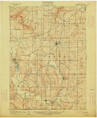
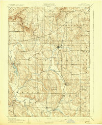
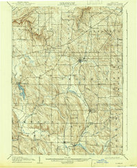
Sherman and Clymer serve as the primary hubs of this Chautauqua County landscape, where the Pennsylvania R R and the Western New York and Pennsylvania R R provide the critical transport backbone for early 20th-century commerce. The map reveals a dense network of hamlets and crossroads, including Sheldon Corners, Wait Corners, and King Corners, suggesting a well-distributed agricultural population. In the western reaches, Findley Lake stands out as a significant water feature, flanked by Mina and the smaller Marvin settlement near the New York Pennsylvania Boundary Line. The terrain is defined by numerous watercourses like French Creek and Brokenstraw Creek that carved valleys into the uplands, including Clymer Hill. These drainage patterns influenced the placement of early stops such as Panama Sta and North Clymer, illustrating how the steam-era rail lines followed the natural contours of the French Creek valley.
Find a feature on this map
50 named features on this map. Tap any name to fly to it.
Don’t see what you’re looking for? This feature index may not catch every label — zoom into the map to look around manually.
Map Details
Editions of this 1905 Clymer Map
4 editions found
Other maps of this area

1899 · Westfield
USGS Topo · 1:62,500

1900 · Dunkirk
USGS Topo · 1:62,500

1904 · Chautaqua
USGS Topo · 1:62,500

1913 · North East
USGS Topo · 1:62,500

1915 · North East
USGS Topo · 1:62,500

1926 · Youngsville
USGS Topo · 1:62,500

1929 · Corry
USGS Topo · 1:48,000

1929 · Youngsville
USGS Topo · 1:62,500

1929 · Union City
USGS Topo · 1:62,500

1932 · Corry
USGS Topo · 1:62,500