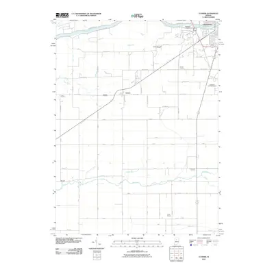
2010 Map of Clymers
USGS Topo · Published 2010About this map
The Wabash River and its historic corridors anchor this landscape, where the legacy of the nineteenth-century Wabash and Erie Canal is still visible along the northern banks near Sebastian Island. This area southwest of Logansport reflects a deeply rooted rural layout, where small family and community cemeteries such as Shideler Cemetery, Porter Cemetery, and Clymers Cemetery are scattered among the agricultural grid.
Find a feature on this map
68 named features on this map. Tap any name to fly to it.
Don’t see what you’re looking for? This feature index may not catch every label — zoom into the map to look around manually.
Map Details
Editions of this 2010 Clymers Map
This is the sole edition of this map. No revisions or reprints were ever made.
Other maps of this area

1953 · Danville
USGS Topo · 1:250,000

1955 · Danville
USGS Topo · 1:250,000

1955 · Logansport
USGS Topo · 1:24,000

1955 · Anoka
USGS Topo · 1:24,000

1956 · Danville
USGS Topo · 1:250,000

1959 · Young America
USGS Topo · 1:24,000

1960 · Lucerne
USGS Topo · 1:24,000

1962 · Deer Creek
USGS Topo · 1:24,000

1962 · Flora
USGS Topo · 1:24,000

1962 · Burrows
USGS Topo · 1:24,000