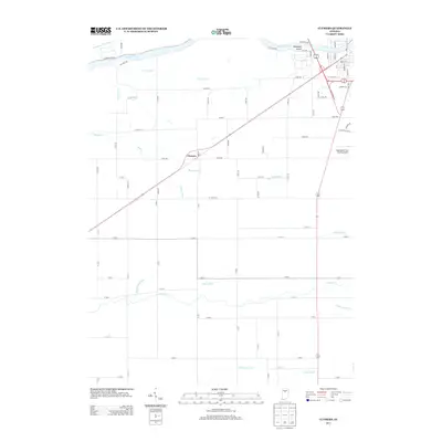
2013 Map of Clymers
USGS Topo · Published 2013About this map
Clymers serves as the central point of this agricultural landscape in Cass County, where a complex network of drainage ditches like Slusser Ditch and Martin Ditch supports the productive Indiana farmland. To the north, the Wabash River creates a natural boundary, featuring Sebastian Island and remnants of the Wabash and Erie Canal, a vital piece of 19th-century infrastructure.
Find a feature on this map
77 named features on this map. Tap any name to fly to it.
Don’t see what you’re looking for? This feature index may not catch every label — zoom into the map to look around manually.
Map Details
Editions of this 2013 Clymers Map
This is the sole edition of this map. No revisions or reprints were ever made.
Other maps of this area

1953 · Danville
USGS Topo · 1:250,000

1955 · Danville
USGS Topo · 1:250,000

1955 · Logansport
USGS Topo · 1:24,000

1955 · Anoka
USGS Topo · 1:24,000

1956 · Danville
USGS Topo · 1:250,000

1959 · Young America
USGS Topo · 1:24,000

1960 · Lucerne
USGS Topo · 1:24,000

1962 · Deer Creek
USGS Topo · 1:24,000

1962 · Flora
USGS Topo · 1:24,000

1962 · Burrows
USGS Topo · 1:24,000