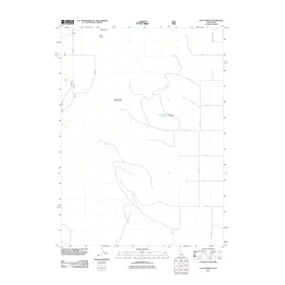
2011 Map of Co-op Spring
USGS Topo · Published 2011About this map
North Hansel Mountains dominate the central landscape of this Box Elder County terrain, where the topography of the High Desert meets managed water resources. The Curlew Valley Reservoir, held by the Curlew Valley Dam, serves as a critical focal point for the region's drainage and irrigation infrastructure. This 2011 survey captures the network of rural corridors, such as Abbot Rd and S Smith Rd, that navigate the arid basins and canyons. The namesake Co-op Spring is located in the northwest, tucked near the elevations of Stark Canyon and Taylor Canyon. These features illustrate the vital role of specific water sources and the methodical grid of country roads that define land use in this part of northern Utah.
Find a feature on this map
16 named features on this map. Tap any name to fly to it.
Don’t see what you’re looking for? This feature index may not catch every label — zoom into the map to look around manually.
Map Details
Editions of this 2011 Co-op Spring Map
This is the sole edition of this map. No revisions or reprints were ever made.
Other maps of this area

1954 · Pocatello
USGS Topo · 1:250,000

1954 · Brigham City
USGS Topo · 1:250,000

1958 · Pocatello
USGS Topo · 1:250,000

1958 · Brigham City
USGS Topo · 1:250,000

1962 · Brigham City
USGS Topo · 1:250,000

1968 · Ireland Springs
USGS Topo · 1:24,000

1968 · Grover Canyon
USGS Topo · 1:24,000

1968 · Ridgedale Pass
USGS Topo · 1:24,000

1968 · Rattlesnake Pass
USGS Topo · 1:24,000

1968 · Snowville
USGS Topo · 1:24,000