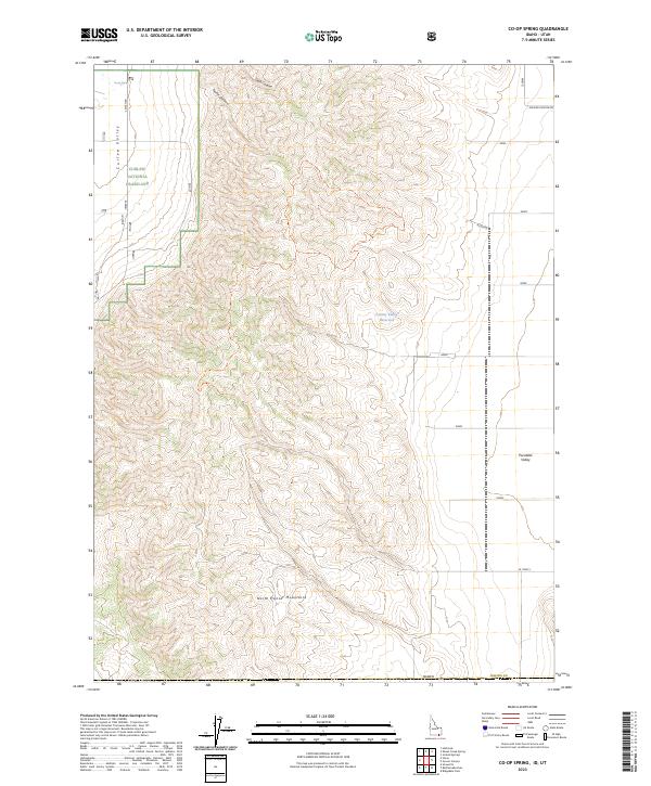
2023 Map of Co-op Spring
USGS Topo · Published 2023About this map
The North Hansel Mountains dominate this high-desert terrain on the Idaho-Utah border, marking a sharp transition between the Curlew Valley to the west and Pocatello Valley to the east. This 2023 survey illustrates a landscape primarily managed as the Curlew National Grassland, where topography is defined by deep drainage patterns such as Taylor Canyon and Stark Canyon. Water sources are few and critical in this arid environment, represented by the eponymous Co-op Spring in the northwest and the Curlew Valley Reservoir tucked into the eastern foothills. The map reveals the sparse infrastructure of the region, consisting mostly of rural connectors like S Smith Rd and Allen Rd that follow the natural contours of the mountain range and valleys.
Find a feature on this map
17 named features on this map. Tap any name to fly to it.
Don’t see what you’re looking for? This feature index may not catch every label — zoom into the map to look around manually.
Map Details
Editions of this 2023 Co-op Spring Map
This is the sole edition of this map. No revisions or reprints were ever made.
Other maps of this area

1954 · Pocatello
USGS Topo · 1:250,000

1954 · Brigham City
USGS Topo · 1:250,000

1958 · Pocatello
USGS Topo · 1:250,000

1958 · Brigham City
USGS Topo · 1:250,000

1962 · Brigham City
USGS Topo · 1:250,000

1968 · Ireland Springs
USGS Topo · 1:24,000

1968 · Grover Canyon
USGS Topo · 1:24,000

1968 · Ridgedale Pass
USGS Topo · 1:24,000

1968 · Rattlesnake Pass
USGS Topo · 1:24,000

1968 · Snowville
USGS Topo · 1:24,000