Loading...
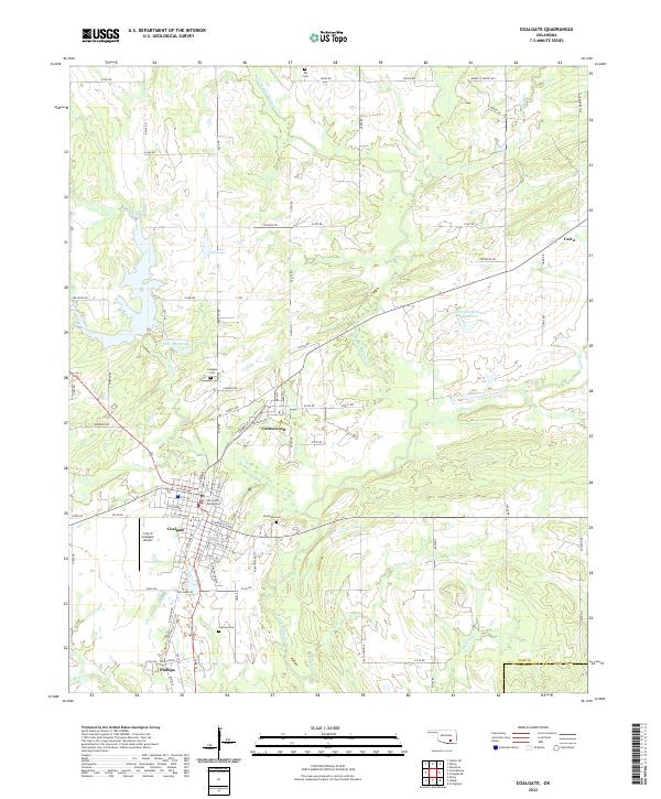
Loading map...2022 Map of Coalgate
USGS Topo · Published 2022About this map
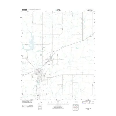
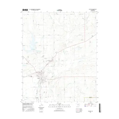
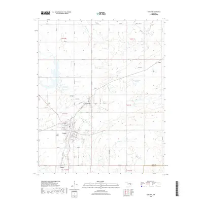
Coalgate serves as the focal point of this region, anchored by the Coal County Courthouse and its grid of residential streets. The settlement pattern extends southward toward Phillips and includes the smaller communities of Cottonwood and Cairo. This landscape is defined by its water management and drainage, with numerous reservoirs and creek systems like Muddy Boggy Cr and Coon Creek shaping the topography.
Find a feature on this map
97 named features on this map. Tap any name to fly to it.
Don’t see what you’re looking for? This feature index may not catch every label — zoom into the map to look around manually.
Map Details
Date Portrayed2022
Date Published2022
PublisherU.S. Geological Survey
Map TypeTopographic
Scale1:24,000
Physical Dimensions24 x 29 inches
Editions of this 2022 Coalgate Map
This is the sole edition of this map. No revisions or reprints were ever made.
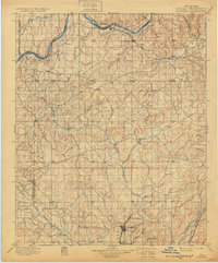
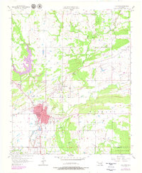
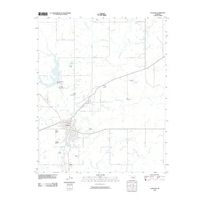
Historical Maps of Coalgate Through Time
9 maps found


Featured Locations
Source Details
SourceU.S. Geological Survey
CopyrightPublic Domain