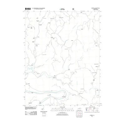
2011 Map of Cobhill
USGS Topo · Published 2011About this map
Kentucky River bottomlands and the ridges of Estill County define this topographical study, which highlights a network of small settlements and family burial grounds. The community of Old Landing sits along the river's bend, connected to the uplands by Old Landing Ridge. Further north, Fitchburg and Cobhill anchor a landscape of deep hollows and narrow ridges, such as Wild Flower Ridge and Watson Ridge. The map provides a detailed view of local genealogy through numerous family plots including Vanderpool Cemetery, Howell Cemetery, and Smyth Cemetery.
Find a feature on this map
73 named features on this map. Tap any name to fly to it.
Don’t see what you’re looking for? This feature index may not catch every label — zoom into the map to look around manually.
Map Details
Editions of this 2011 Cobhill Map
This is the sole edition of this map. No revisions or reprints were ever made.
Other maps of this area

1892 · Beattyville
USGS Topo · 1:125,000

1952 · Leighton
USGS Topo · 1:24,000

1952 · Clay City
USGS Topo · 1:24,000

1952 · Stanton
USGS Topo · 1:24,000

1952 · Slade
USGS Topo · 1:24,000

1952 · Beattyville
USGS Topo · 1:24,000

1952 · Cobhill
USGS Topo · 1:24,000

1952 · Heidelberg
USGS Topo · 1:24,000

1952 · Irvine
USGS Topo · 1:24,000

1953 · Zachariah
USGS Topo · 1:24,000