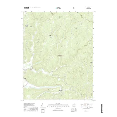
2019 Map of Cobhill
USGS Topo · Published 2019About this map
The Kentucky River flows along the southern edge of this landscape, marking a transition from the lower ridges to the steep elevations of the Daniel Boone National Forest. Centered around the remote settlements of Cobhill and Crystal, the terrain is defined by a dense network of hollows and ridges, including Watson Ridge and Old Landing Ridge. These high points separate numerous watercourses like Furnace Fork and Billey Fork, which have shaped the local topography for generations.
Find a feature on this map
60 named features on this map. Tap any name to fly to it.
Don’t see what you’re looking for? This feature index may not catch every label — zoom into the map to look around manually.
Map Details
Editions of this 2019 Cobhill Map
This is the sole edition of this map. No revisions or reprints were ever made.
Other maps of this area

1892 · Beattyville
USGS Topo · 1:125,000

1952 · Leighton
USGS Topo · 1:24,000

1952 · Clay City
USGS Topo · 1:24,000

1952 · Stanton
USGS Topo · 1:24,000

1952 · Slade
USGS Topo · 1:24,000

1952 · Beattyville
USGS Topo · 1:24,000

1952 · Cobhill
USGS Topo · 1:24,000

1952 · Heidelberg
USGS Topo · 1:24,000

1952 · Irvine
USGS Topo · 1:24,000

1953 · Zachariah
USGS Topo · 1:24,000